HD: screen narrow    STD: screen is wide, you could benefit from HD 

Green Gable [W] GradeGrade
PREV      NEXT
REX    Nov 02, 2026 Honister, Grey Knotts, Brandreth, Green Gable, Moses Trod    Historical route: Moses Trod      
Distance 4.85 miles, Time 3.06 h, Total Ascent 1,900 ft     Imperial | Metric
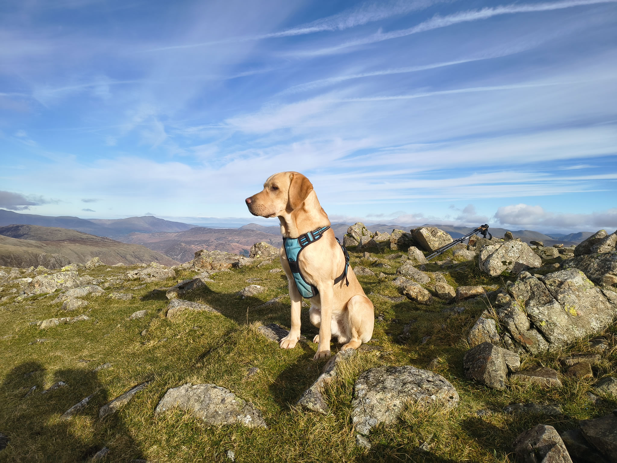
Paw REX SAYS: Great to get out of the car and have a good stretch on these fells.
  Sunny spells through cloud, cold  

Weather forecast suggests that today should be fine and clear, so we set off at 4am for the nearly 7 hour drive. Since the car is full, (nothing valuable but everything we need for a week), we decide to park somewhere relatively safe and busy - Honister Slate Mine.

Although trying to fit in even a short hike on arrival makes for a very long day, it was in this case worth it because it turned out to be the best weather of the entire week.

Green Gable - Image 2, Nov 02, 2026

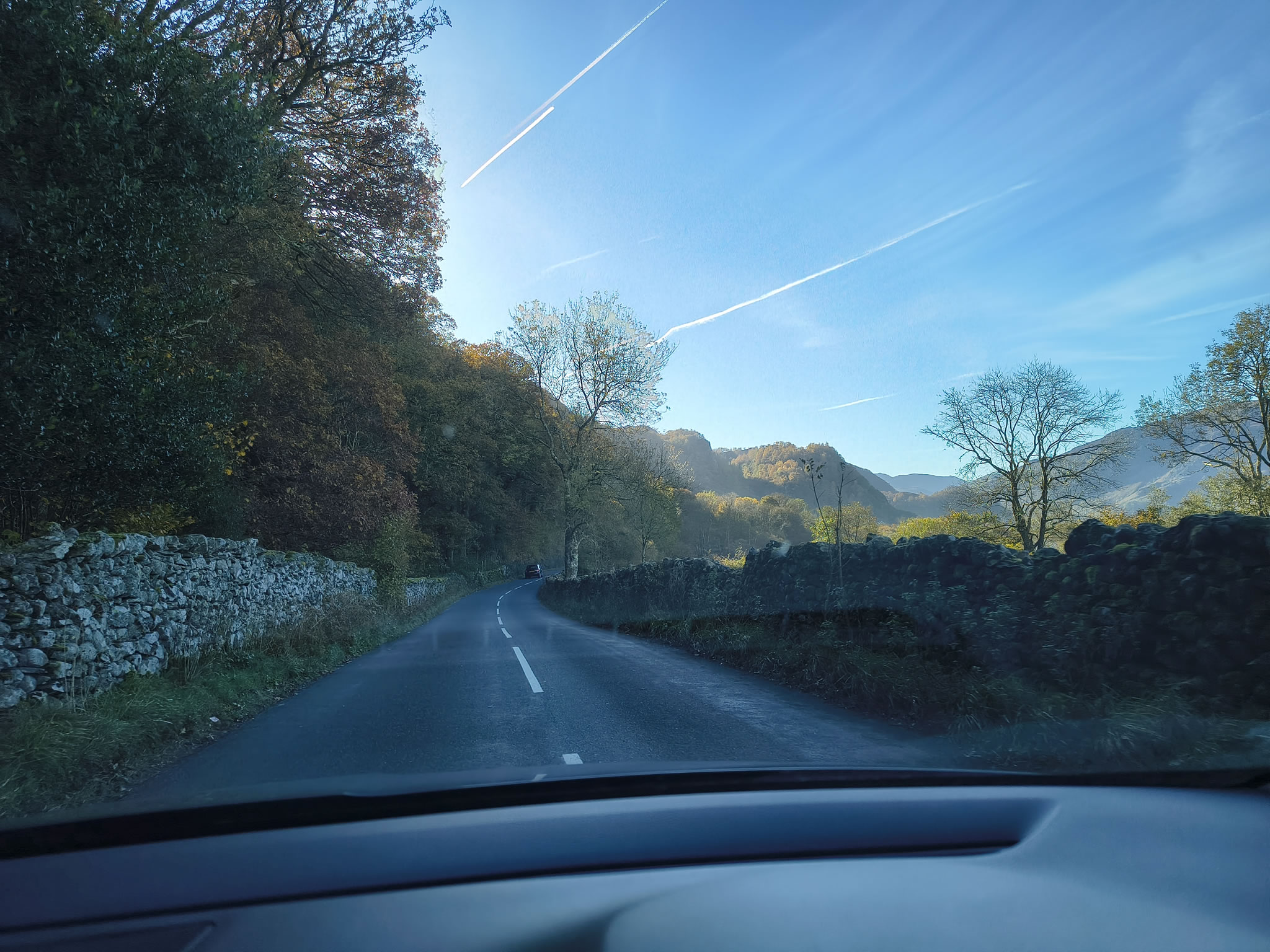
Driving down the Borrowdale valley, blue skies and sunshine beckon on this cold, bright day.

Green Gable - Image 3, Nov 02, 2026

After paying for our parking and putting on some boots, we are up and running on the way to Brandreth. Centre on this photo is Hay Stacks and the High Stile ridge. Great Gable is to the left.

Green Gable - Image 4, Nov 02, 2026

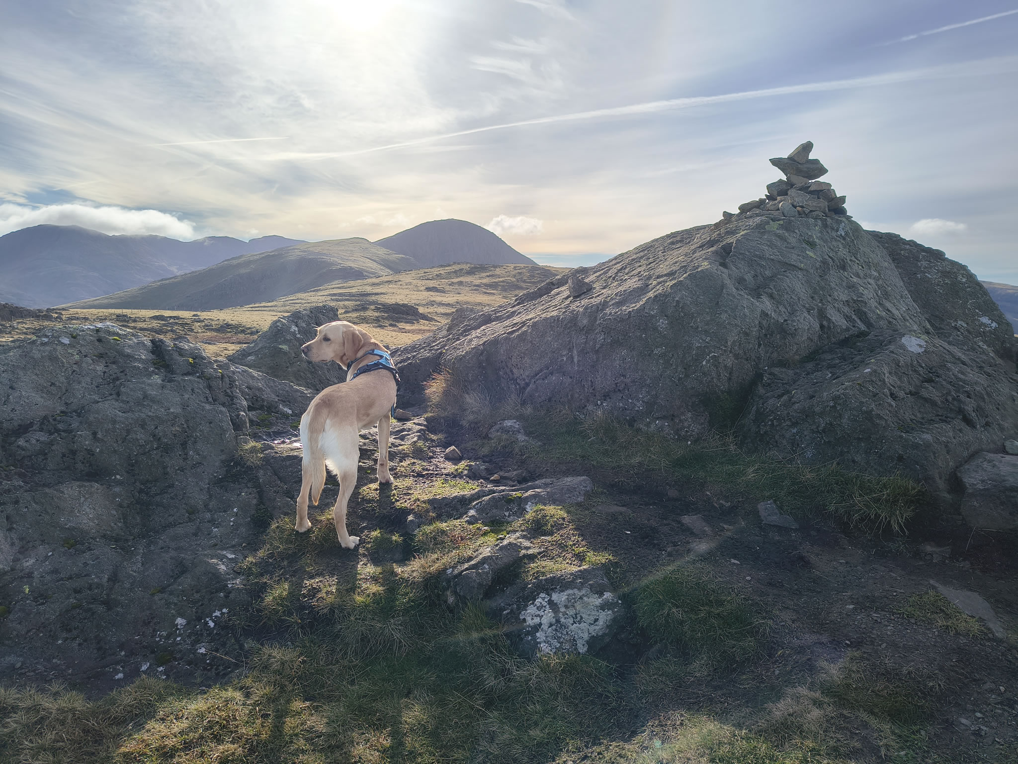
Rex at Grey Knotts, Green Gable and Great Gable beyond.

Green Gable - Image 5, Nov 02, 2026

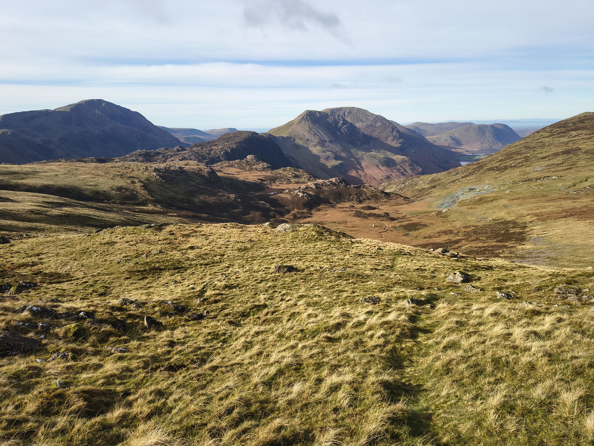
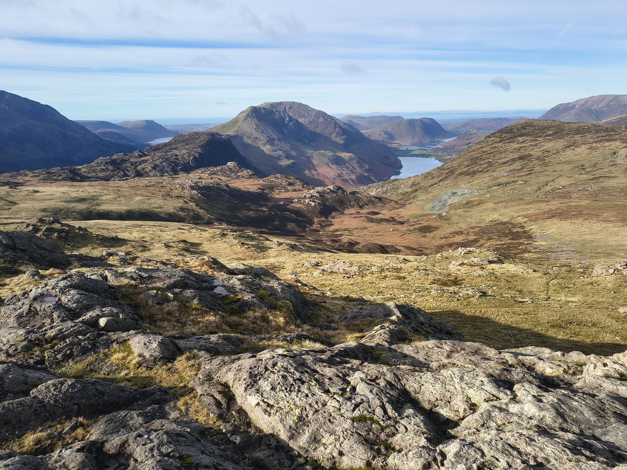
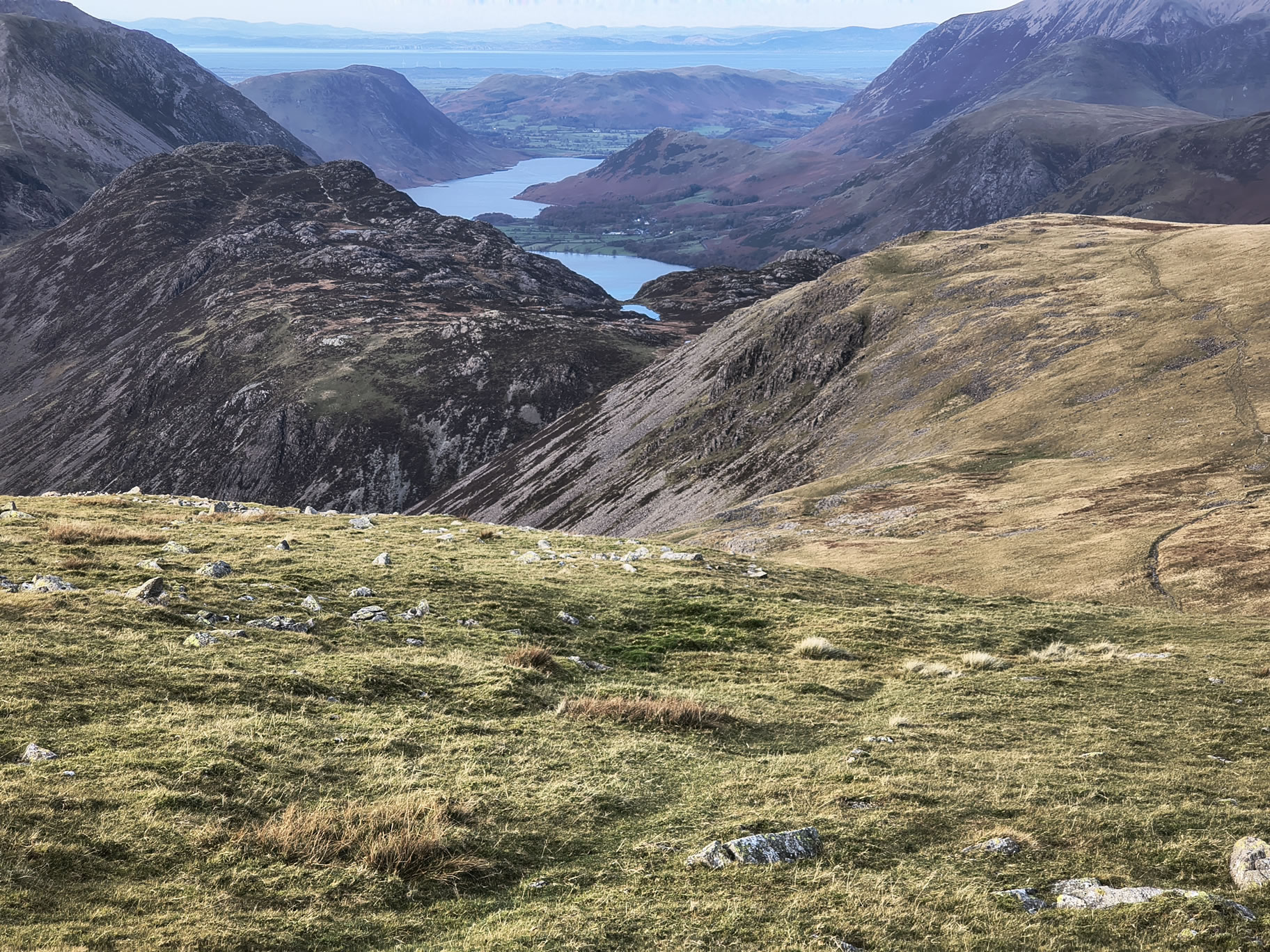
I shall never tire of this view - Buttermere with Crummock Water beyond. A glimpse of Ennerdale Water on the left.

Green Gable - Image 6, Nov 02, 2026

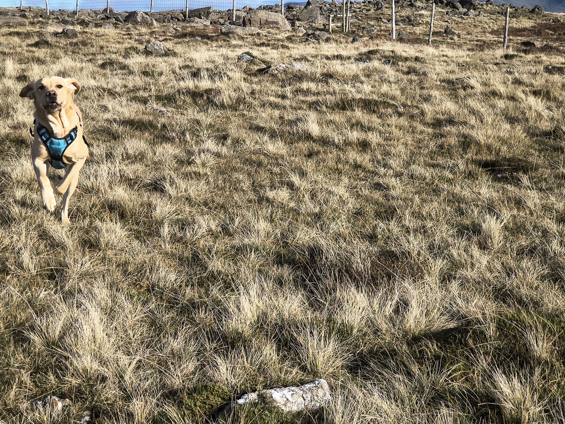
After carefully checking for sheep I can let Rex off. He's been cooped up in the car so he has a bit of a mad run!

Green Gable - Image 7, Nov 02, 2026

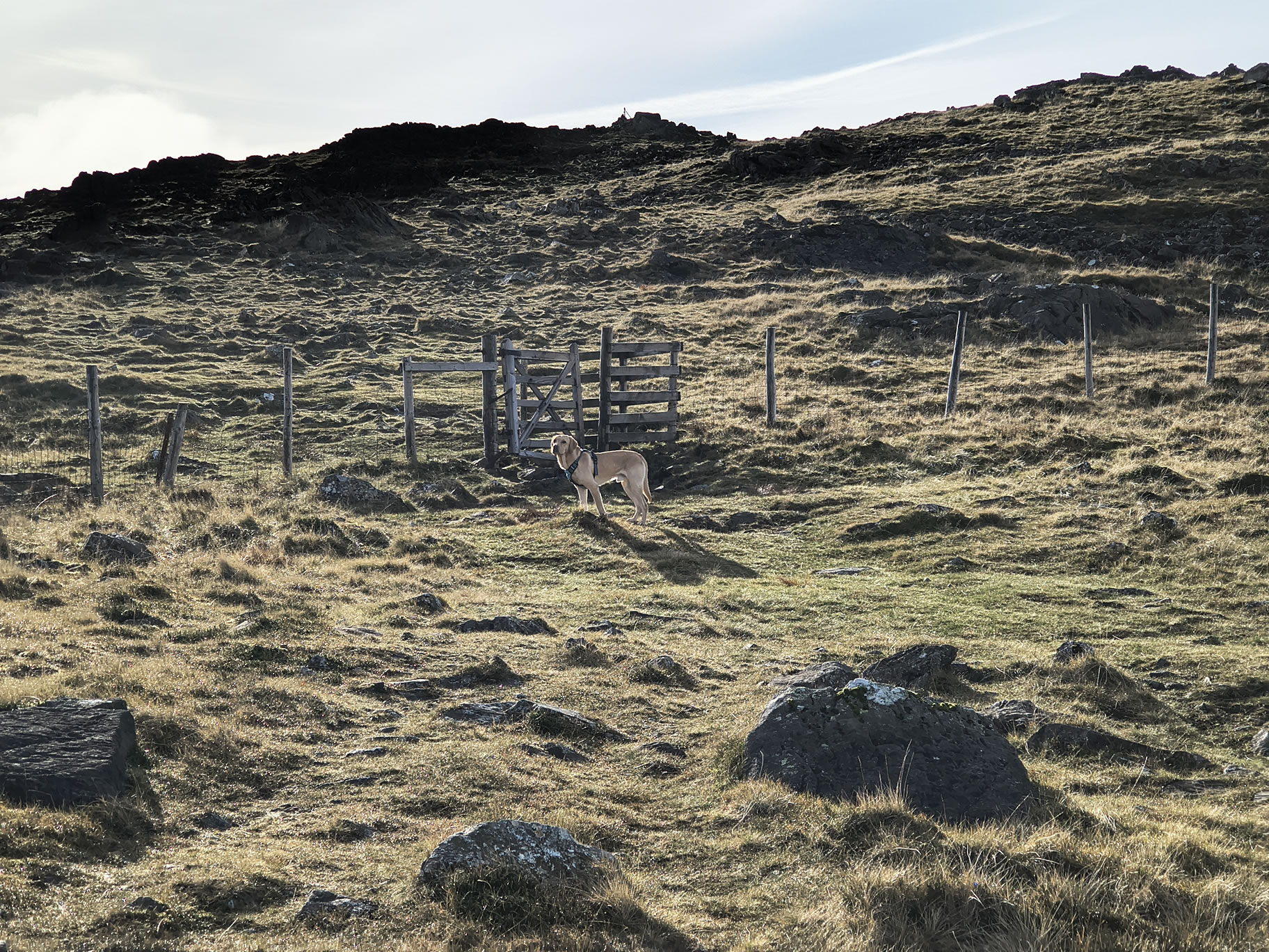
Patiently waiting at the gate in the fence about half way between Grey Knotts and Brandreth

Green Gable - Image 8, Nov 02, 2026

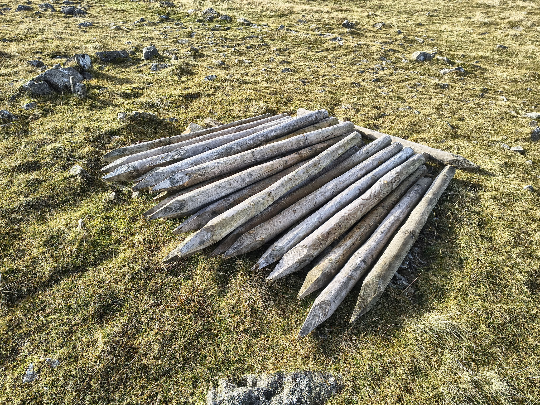
Brandreth summit is quickly achieved, where we see a pile of stakes

Green Gable - Image 9, Nov 02, 2026

that has presumably been dropped off for a future fence repair

Green Gable - Image 10, Nov 02, 2026

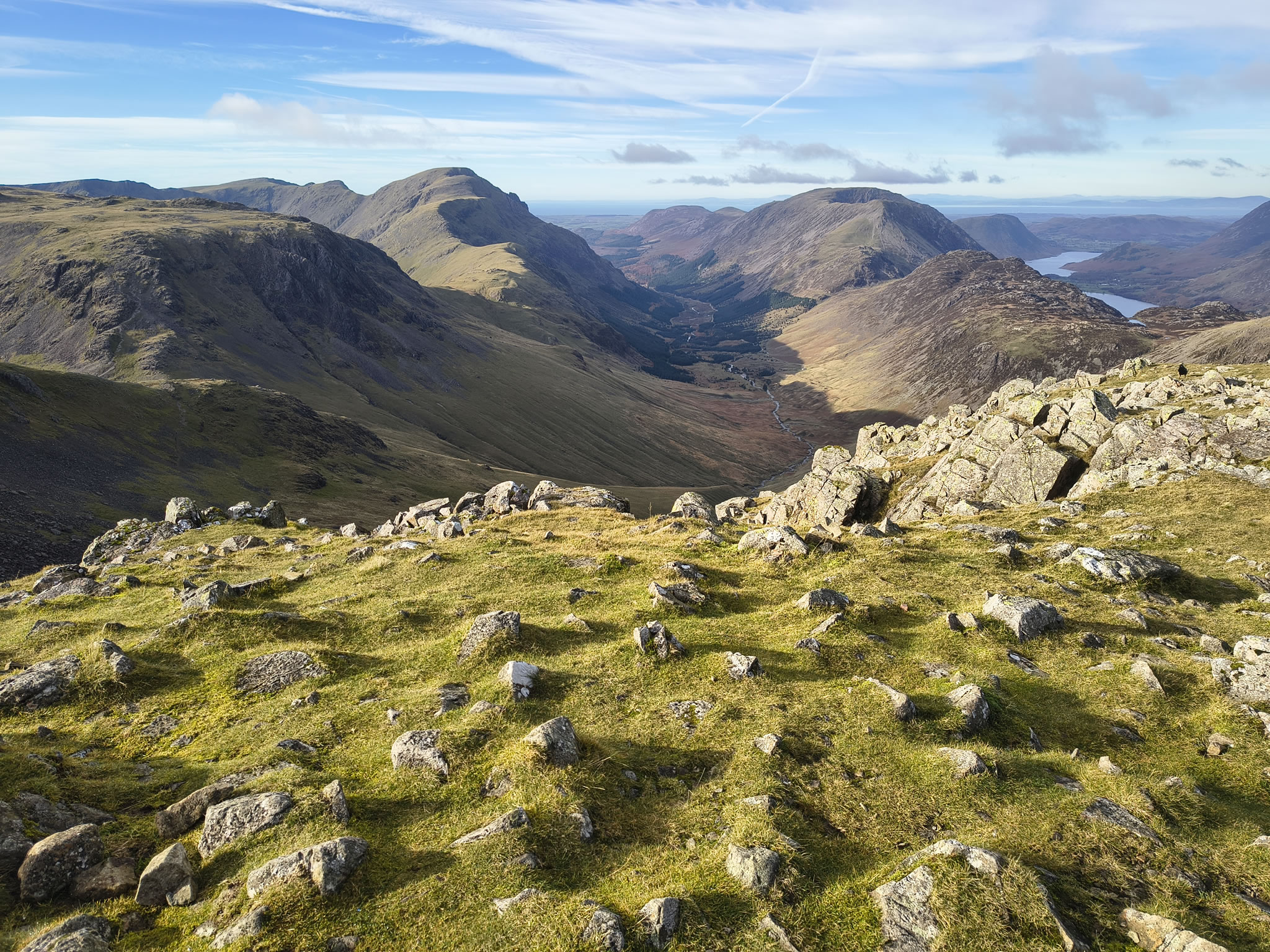
A view of the river Liza meandering down to Ennerdale Water. Principal fells are Pillar (L) and High Stile (R)

Green Gable - Image 11, Nov 02, 2026

From Brandreth to Green Gable is a pleasant amble, nothing too taxing.

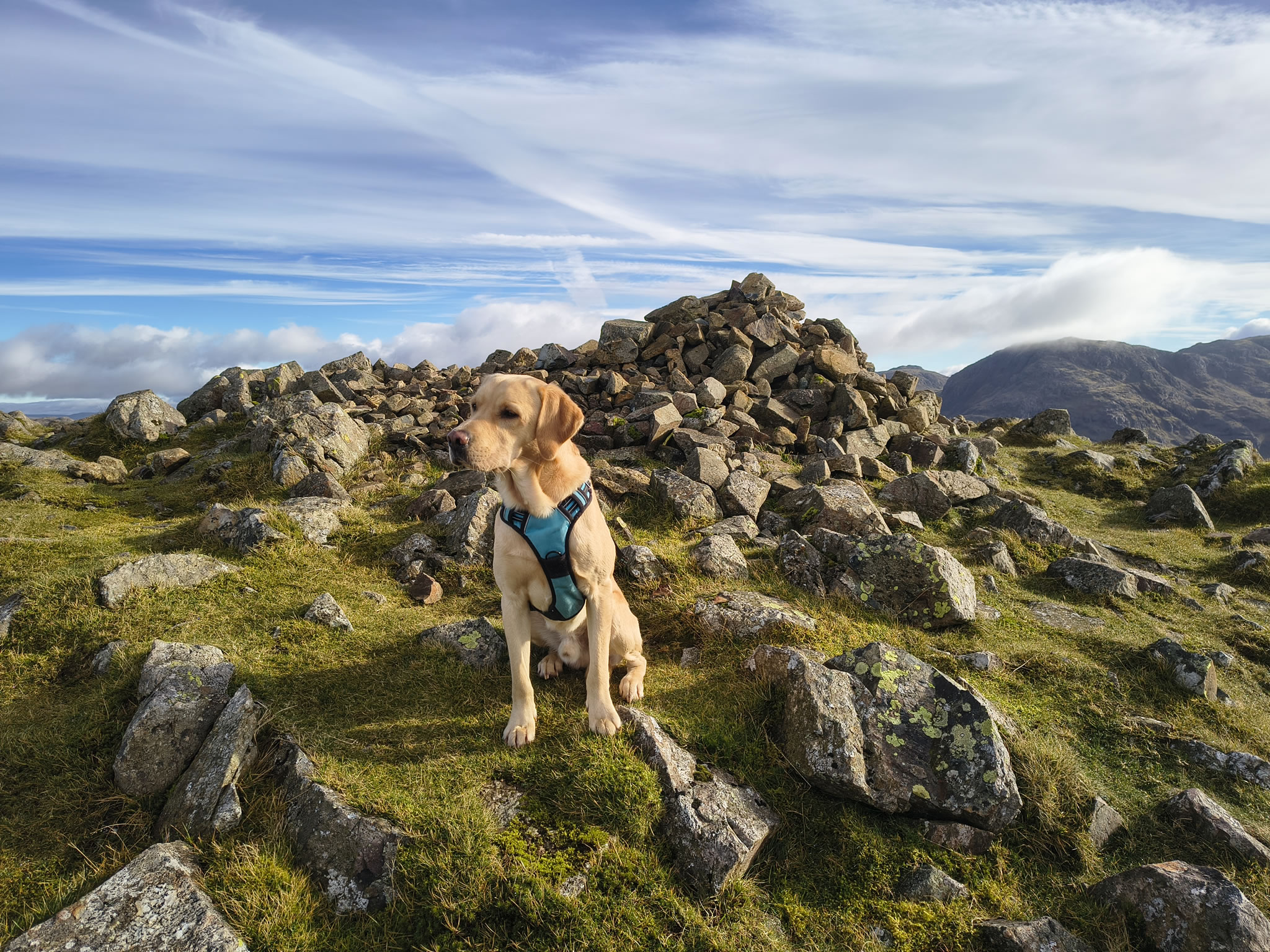
Green Gable - Image 1, Nov 02, 2026

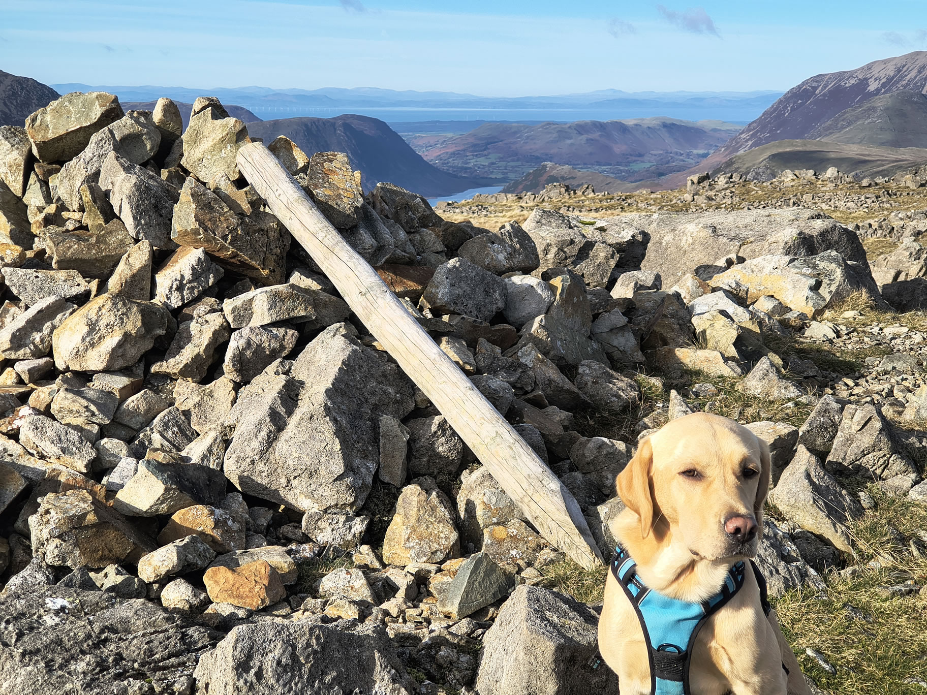
This is our highest summit for today - we would usually add Great Gable and then meander to Hay Stacks

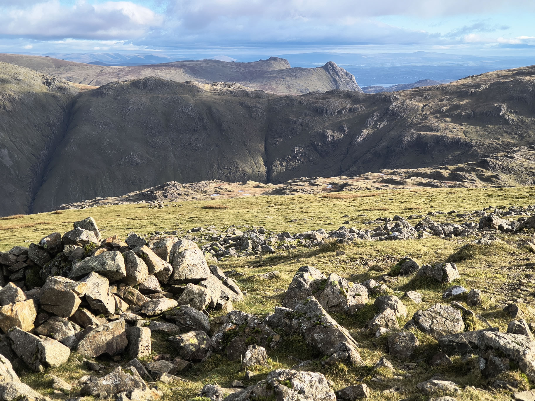
Green Gable - Image 12, Nov 02, 2026

Looking SE to a very clear view of the hippopotamus-like Langdale Pikes

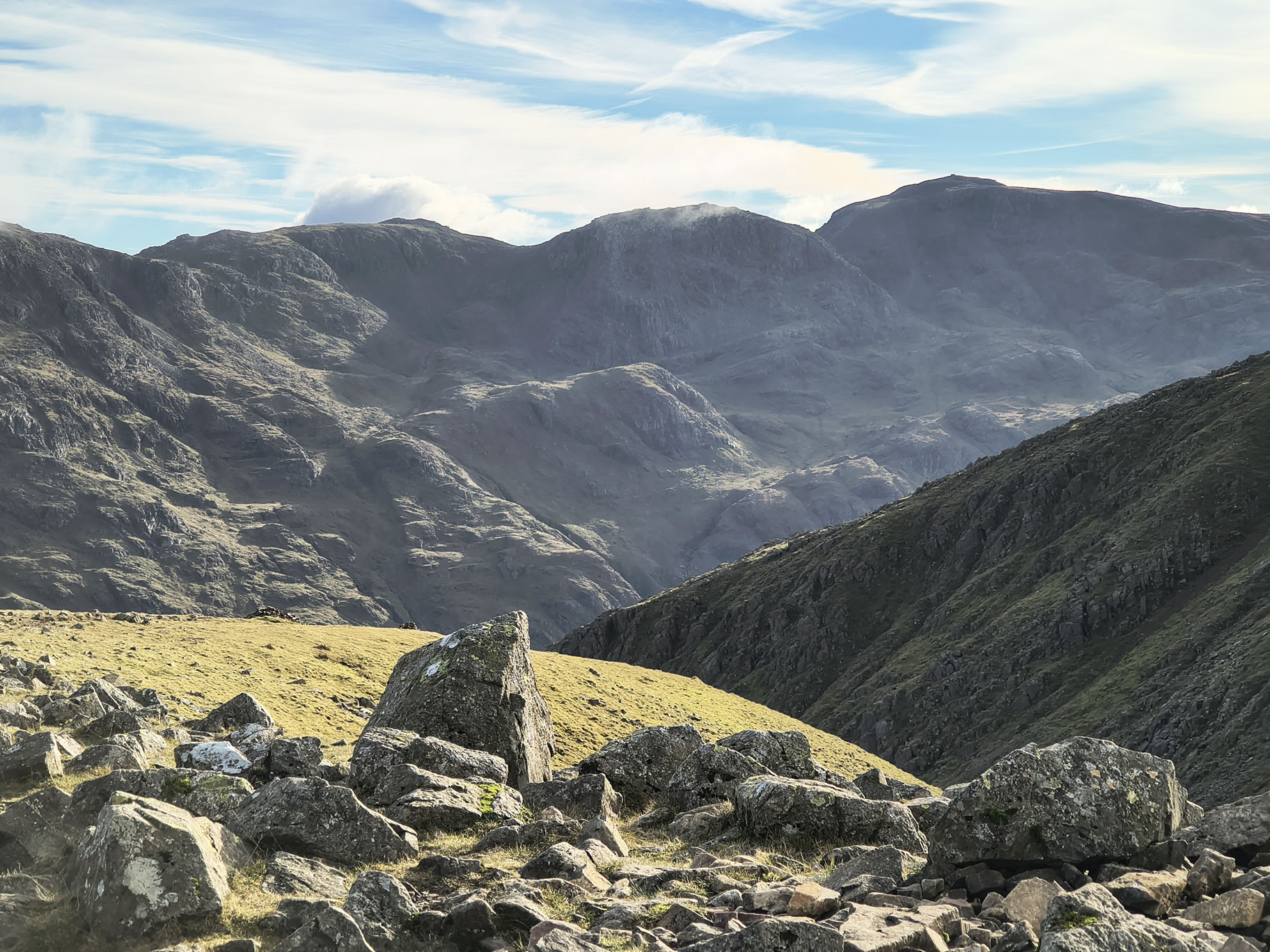
Green Gable - Image 13, Nov 02, 2026

Scafell Pike is in view directly South. Lucky are those who are up there on a clear day, as we shall find out on Wednesday...

360° image. Click on the image to start / stop rotation.

360° view from Green Gable

Green Gable - Image 14, Nov 02, 2026

We make a non-path beeline for Moses Trod (some of the path is seen on the right). From this angle, Hay Stacks looks quite flat. The sea (Solway Firth) is beyond

Green Gable - Image 15, Nov 02, 2026

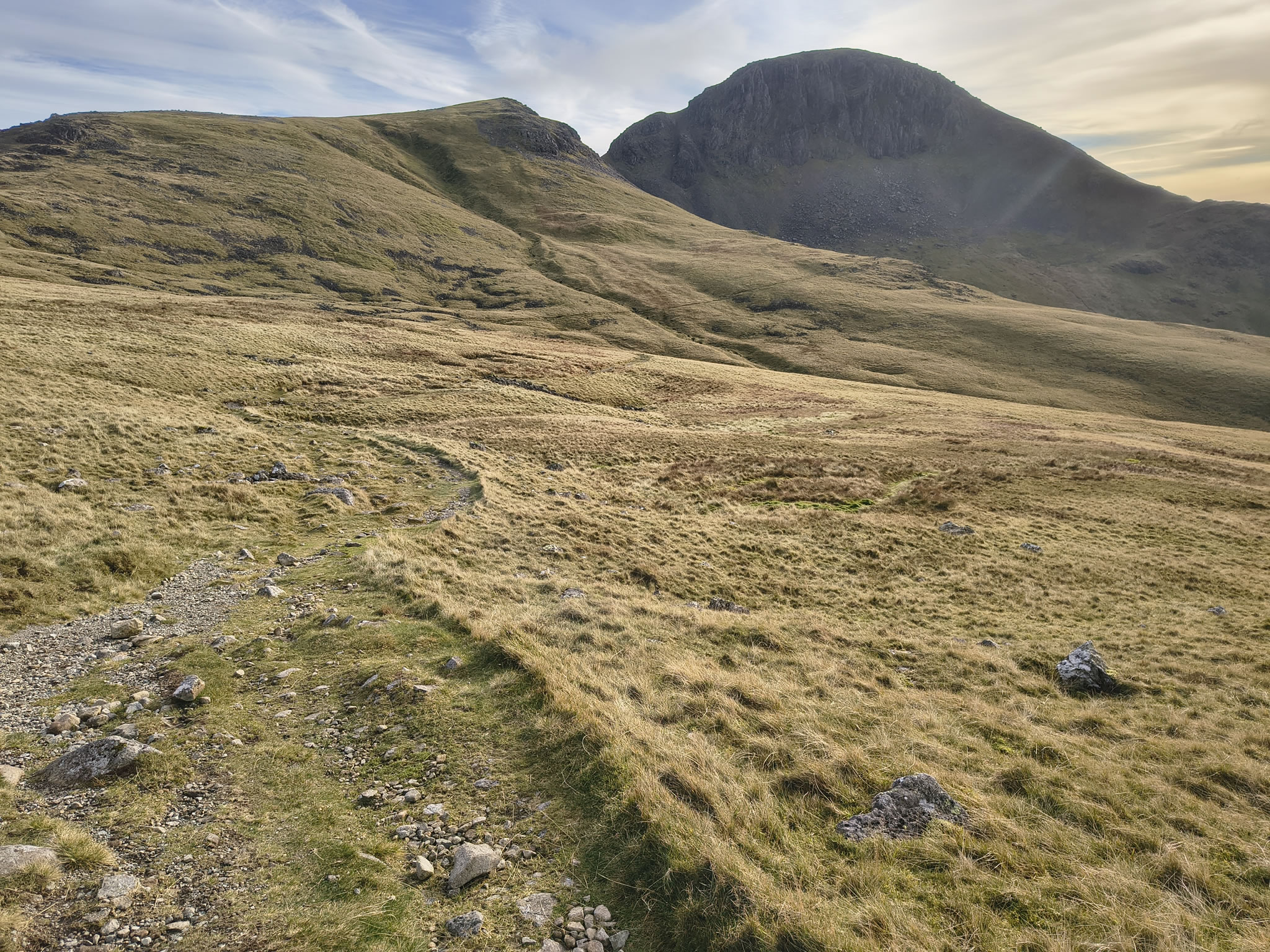
Looking back to Great Gable, Moses Trod in clear view

Green Gable - Image 16, Nov 02, 2026

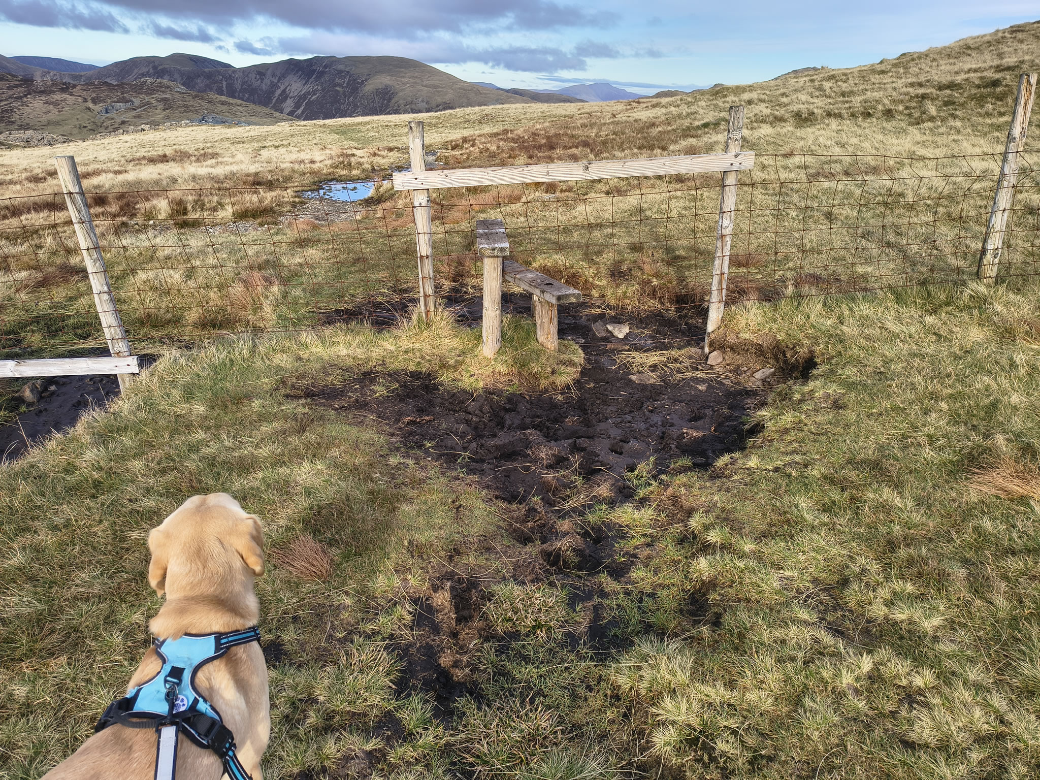
We arrive at this stile, Rex can just squeeze underneath to the right

Green Gable - Image 17, Nov 02, 2026

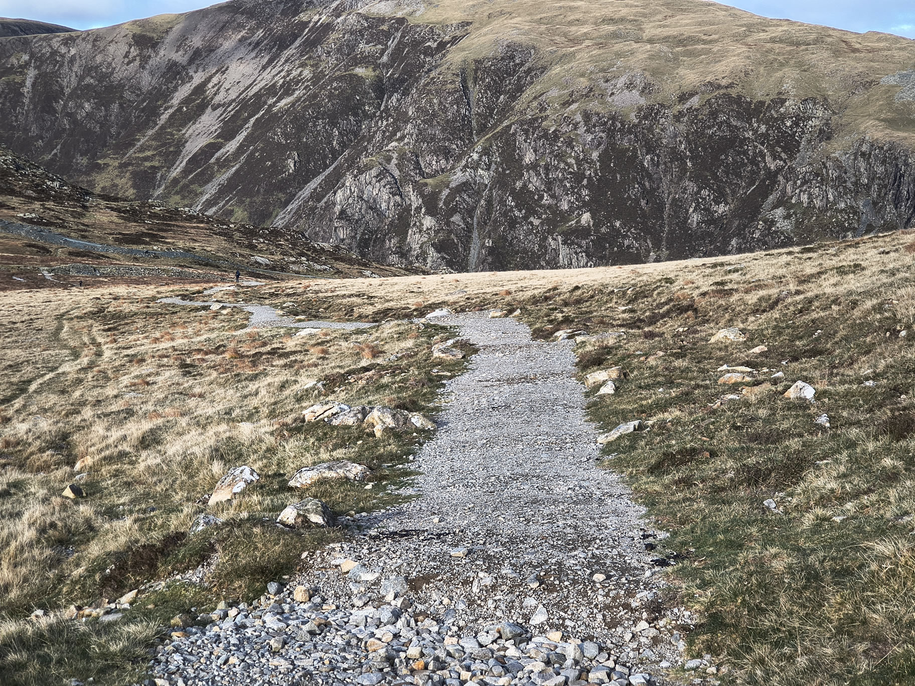
The path towards the old tramway is now clearly defined and easy

Green Gable - Image 18, Nov 02, 2026

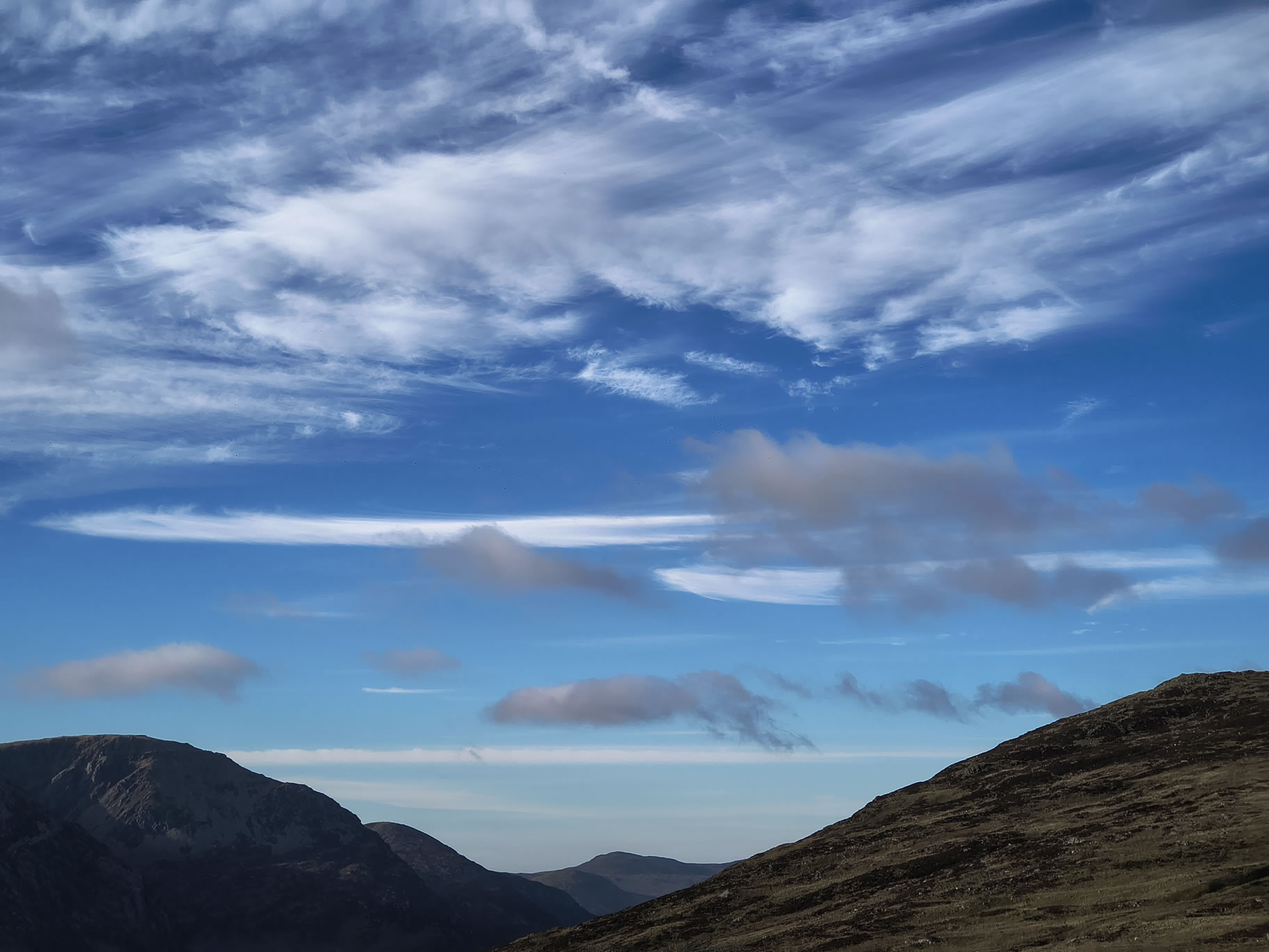
I can only imagine some kind of premonition made me take this photograph of a blue sky - it's pretty much the only blue sky we saw during the week!

Green Gable - Image 19, Nov 02, 2026

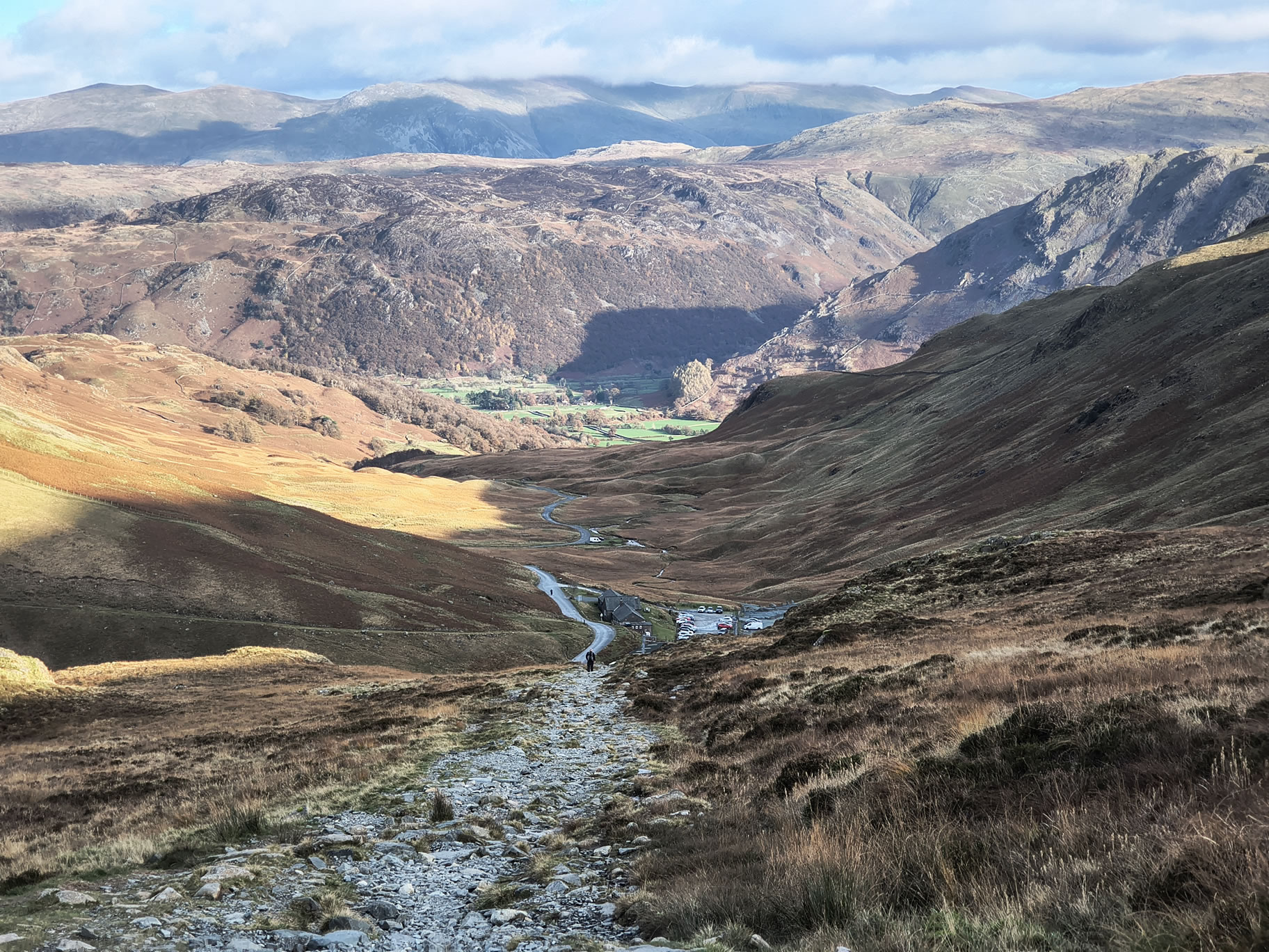
On the route to Honister down the old tramway


Start: Honister

1) "Honister rambler" bus from Keswick to Honister
2) Car parking, toilets and café at Honister Slate Mine [Grid Ref: NY 22457 13570] [GPS 54.511478,-3.1992062] View on map

Route

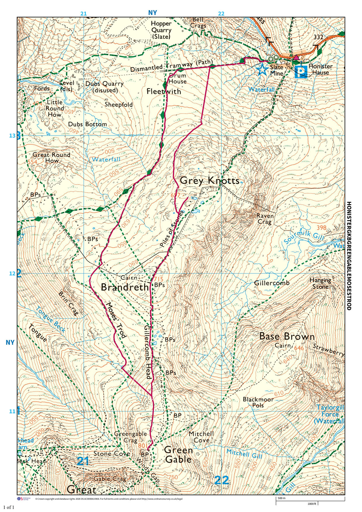
Honister, Grey Knotts, Brandreth, Green Gable, Moses Trod
Distance 4.85 miles, Time 3.06 h, Total Ascent 1,900 ft
Wainwright Pictorial Guide: The Western Fells

Fells

Grey Knotts 2,287 ft
Brandreth 2,346 ft
Green Gable 2,628 ft

Titbits

Moses Trod - Before the roads and tramways, it was more convenient to transport slate from Dubs to South Cumberland by packhorse directly across the high fells to Wasdale {...}
Moses Trod is a high level route which was planned to avoid steep gradients. The path is kept in being today by discerning walkers who appreciate the easy contours, fast travel, glorious scenery and superb views.
Moses Rigg is a well established 18th centry figure in local tradition, which describes him as a Honister quarryman who, after his day's work, illegally made whisky from the bog water on Fleetwith at his quarry hut, smuggling this potent produce to Wasdale with his pony-loads of slate A. Wainwright, The Western Fells

Please do your own research to verify current routes and information on car parking, bus services and so on
Route maps from Ordnance Survey are scaled 1:25000 unless otherwise indicated.
Distance, Hike Time and Total Ascent as supplied by OS. Image shows planned route. Scale 1:12500

Distance 4.85 miles, Time 3.06 h, Total Ascent 1,900 ft
Route Map and Details


  You are viewing in STD mode for standard images. If you wish to see HD full size images, click here


Full-size image